CoordiMate
MGA Grid: Map Grid of Australia
The Map Grid of Australia is Australia's metre-based projected coordinate grid.
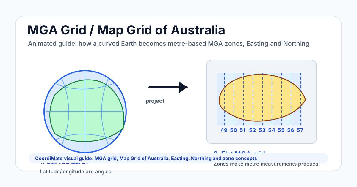
The MGA grid divides Australia into zones so local map measurements can use metres instead of latitude and longitude degrees.
This page is the plain-language answer for MGA grid, map grid Australia, Australian map grid, and Map Grid of Australia searches.
The animated guide explains how a curved Earth becomes practical flat map coordinates: zone, Easting and Northing.
Search intents covered
MGA grid, Map Grid of Australia, map grid Australia, Australian map grid, MGA zones, MGA map, MGA projection, MGA coordinate system, Easting and Northing, what is the MGA grid
Common questions
What is the MGA grid?
The MGA grid is the Map Grid of Australia, a projected coordinate grid that lets Australian map positions be measured in metres.
Why does Australia use MGA zones?
Australia uses MGA zones to keep map distortion small. Each zone is a narrow 6-degree strip used for local Easting and Northing measurements.
Is the Map Grid of Australia the same as latitude and longitude?
No. Latitude and longitude are angular geographic coordinates. MGA uses projected metre-based coordinates inside a zone.