C4 · Publication Volume 14
Integrated Geophysical Interpretation
physics-consistent integration, conflicting evidence and uncertainty
Learning goals
The learner should be able to integrate methods through shared geological hypotheses; reconcile coordinate, support and scale differences; distinguish corroboration from shared bias; use conflicting and negative evidence; compare multi-property forward models; and make a conditional decision with a targeted next observation.
Integration is not stacking colourful layers until a target looks convincing. Each method has a different property kernel, support, depth sensitivity and confounder. Evidence becomes jointly useful when the same subsurface hypothesis predicts all observations under their respective physics.
Hypothesis-led integration
Begin with competing geological models. For each, predict geometry and distributions of density, magnetisation, conductivity, chargeability, radioelements and elastic properties. Mark predictions as necessary, expected but variable, or irrelevant. Also predict surface-process, cultural and acquisition alternatives.
Build a hypothesis–evidence matrix before examining every enhancement. Rows are observations; columns are hypotheses. Each cell states the predicted sign, location, scale and uncertainty. This limits retrospective storytelling and makes negative evidence interpretable. Update the matrix when a model changes, preserving versions.
Integration can be qualitative, petrophysically constrained, cooperative or jointly inverted. Greater mathematical coupling is not automatically better. A shared-boundary constraint is defensible only when geology predicts that properties change at the same boundary. Otherwise, separate inversions compared through hypotheses may be more honest.
Common spatial and physical frame
Reconcile coordinate reference, vertical datum, units, sign and time before overlay. Match sensor elevation, borehole trajectory, line orientation and grid support. Resampling all products to the smallest cell creates visual alignment but not common resolution. Carry native support and uncertainty into comparison.
Convert model properties only with justified relationships. Resistivity and conductivity may be reciprocal under compatible conditions; susceptibility does not directly predict remanence; density–velocity relations are domain-dependent; radiometric surface abundance need not represent depth. Property cross-plots require matched spatial support and domain.
Compare in data space where possible. A shared geological model should forward-predict each method at its actual observation geometry. This avoids mistaking differently regularised model boundaries for independent confirmation.
Concordance, conflict and shared bias
Concordant anomalies can strengthen a hypothesis when the predicted properties are causally linked and errors are independent. They add little when derived from the same navigation, terrain surface, processing assumption or cultural source. A coordinate shift can make several datasets align falsely if they share the same incorrect transform.
Conflict is evidence, not inconvenience. A conductive feature with no expected chargeability may favour fluid or clay over disseminated electronic conductors. A density excess without magnetic response may constrain mineralogy or remanence assumptions. Record whether the absent response was actually detectable at the predicted depth and orientation.
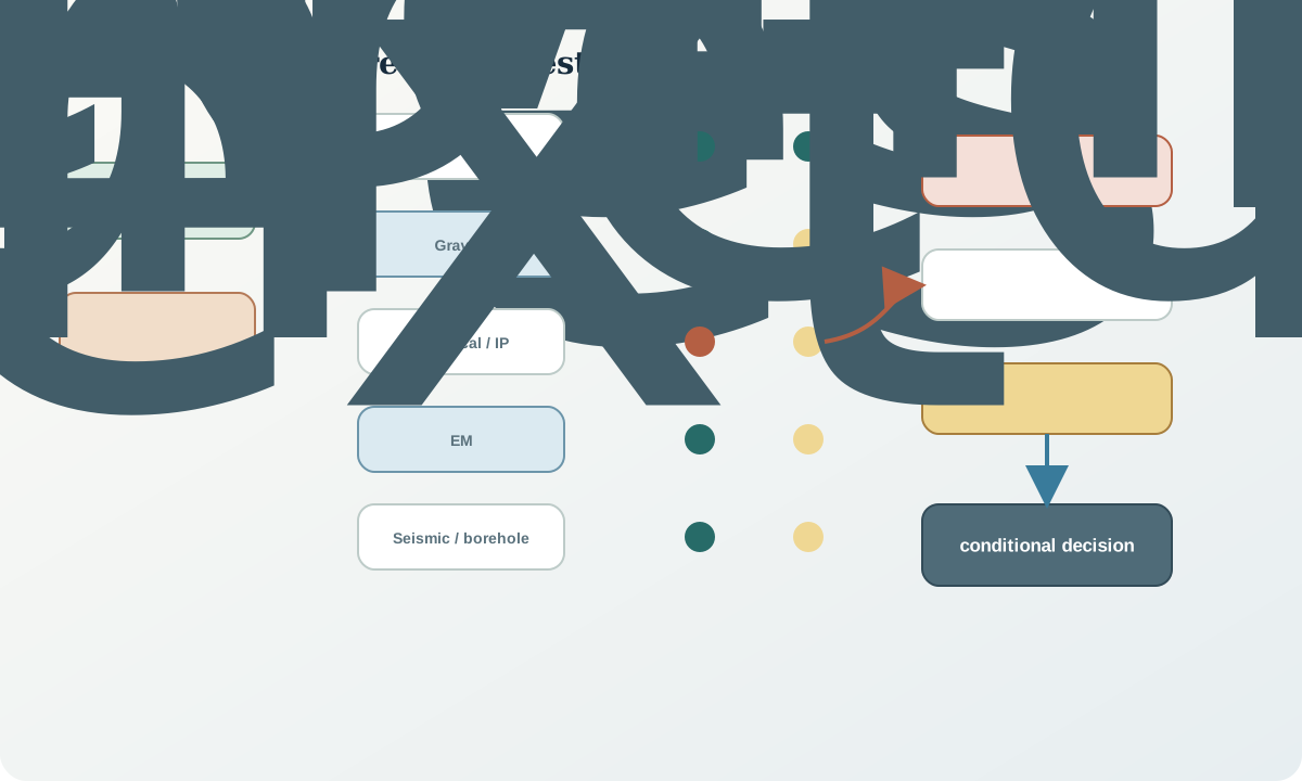
Shared bias includes terrain-correlated corrections, infrastructure, survey-edge interpolation, common depth references and circular constraints. Trace provenance to identify dependence. Two products from the same raw data are not independent evidence merely because they use different colour scales.
Decisions, uncertainty and discriminating tests
Separate four layers in the final interpretation: observation, physical inference, geological hypothesis and decision. “A late-time EM response is repeatable” is an observation. “A conductive volume is required within a depth range” is a physical inference. “The conductor is a particular geological process” is a hypothesis. “Acquire a cross-line or borehole test” is a decision.
Rank uncertainty by decision sensitivity. A poorly constrained detail that cannot change action is less urgent than a model equivalence that reverses target priority. Use scenario tests rather than a single composite confidence score when assumptions differ. Show what observation would make the preferred model fail.
A discriminating test maximises the predicted difference among viable hypotheses at acceptable uncertainty. It may change method, orientation, frequency, offset, station density or observation domain. More of the same data is useful only if it reduces the uncertainty that matters.
Worked synthetic example
A synthetic corridor has a repeatable late-time electromagnetic response, moderate chargeability, a small positive gravity residual and no resolved magnetic anomaly. Hypothesis A is a dense, electrically conductive and chargeable lens with weak magnetisation. Hypothesis B is a saline fracture zone expected to be conductive but weakly chargeable and near-neutral in density. Hypothesis C is cultural infrastructure expected to be conductive, linearly aligned and shallow but not to produce coherent density contrast.
The EM observation is compatible with all three. Moderate repeatable chargeability supports A more than B or C, provided coupling and cultural effects are controlled. The gravity residual supports A only if terrain and regional separation are robust. The absent magnetic response does not refute A because weak magnetisation was predicted. Geometry relative to mapped infrastructure is decisive for C.
Two models remain viable after uncertainty: A and a variant of B with dense infill. A useful next test is a cross-line electrical/IP array plus a depth-registered borehole conductivity and density profile at a position where the models predict the largest depth difference. The conclusion is conditional; it does not name a material as fact before the test.
Integrated interpretation audit workflow
- define competing geological and non-geological hypotheses before integration.
- predict each method's sign, scale, geometry and absence conditions.
- reconcile coordinates, datums, units, time and observation support.
- trace shared inputs and errors to avoid false independence.
- compare forward predictions with native observations and residuals.
- record concordant, conflicting and absent evidence symmetrically.
- maintain at least two viable multi-property models.
- separate observation, physical inference, geology and decision.
- select the next test by predicted model separation and uncertainty.
Practice and review
- Build a hypothesis–evidence matrix for a conductor with three possible causes.
- Explain why two derivatives of one magnetic grid are not independent evidence.
- Give an example where absence of an anomaly is not informative.
- Design a shared model that forward-predicts gravity and magnetics without forcing common property ratios.
- Write a decision statement that includes a reversal condition.
Review questions: Did hypotheses precede overlays? Are supports and coordinates compatible? Which errors are shared? Does conflict remain visible? Are two viable subsurface models shown? Which next observation most strongly separates them?
Sources
- Geophysical acquisition, inversion and three-dimensional modelling overview, supports multi-method processing and model integration.
- Airborne electromagnetic inversion and uncertainty practice, illustrates data fitting, plausible models and uncertainty-aware products.
- Applications and complementary roles of geophysical methods, supports property-led method combination.
- General provenance ontology, provides a formal basis for tracing dependent evidence and processing activities.