E1 · Publication Volume 23
Earth Shape, Ellipsoid and Geoid
reference surfaces, height types and their physical meaning
Learning objectives
distinguish the physical terrain, gravity-related level surfaces, a reference ellipsoid and a geoid or quasigeoid model; select a height type that answers the decision; calculate a transparent height relationship; and identify when a model is outside its coverage or accuracy envelope.
The objective is transferable reasoning, not operation of a named product or performance of regulated survey work. Every real decision must use current applicable requirements, authorised control and competent review.
Decision context
The first decision is not which number to display, but which surface the vertical coordinate must describe. A drilling collar, water-flow model, aerial trajectory, tunnel grade and regional raster can require different vertical meanings. The analyst writes a height contract naming the physical quantity, reference surface, datum or model, units, sign convention, observation method, model version, coverage, uncertainty and intended use before combining values.
A spherical Earth is useful for sketches but inadequate for controlled coordinates. An ellipsoid is a smooth mathematical surface for latitude, longitude and ellipsoidal height. A gravity-related datum approximates level or potential surfaces needed for many elevations. Terrain is neither surface. Confusing them creates errors that can remain visually plausible because every value is expressed in metres.
Core concept
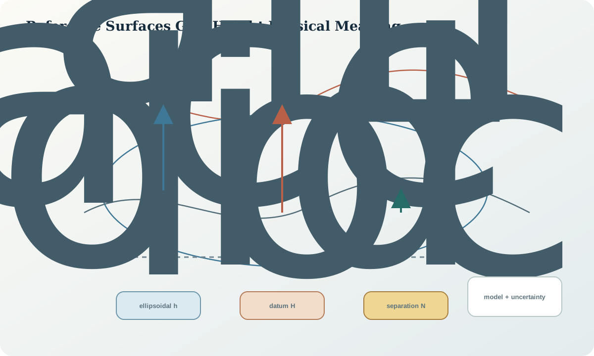
The physical Earth is irregular and changes with loading, tides, atmosphere, groundwater and tectonics. A reference ellipsoid simplifies geometry with a semi-major axis and flattening. Geodetic latitude is measured relative to the ellipsoid normal, not a line from the centre except on special latitudes. The geoid is an equipotential concept associated with the gravity field; practical height models approximate a separation appropriate to a named vertical system.
The plumb line follows gravity and need not coincide with the ellipsoid normal. Orthometric height follows the gravity field between a datum surface and the point, while ellipsoidal height is geometric. A quasigeoid and normal-height system use a related but distinct definition. The correct term must follow the adopted vertical system; using geoid as a generic label for every correction grid hides physical meaning.
Reference frames and metadata
A complete reference-surface record states ellipsoid name and parameters, horizontal datum realisation, coordinate epoch if required, height type, vertical datum or working surface, separation-model identifier and version, interpolation method, tide convention where material, coverage polygon, stated uncertainty and transformation history. Horizontal and vertical references may be delivered as a compound definition or as linked components, but neither may be implicit.
Model values are observations or predictions with spatial support, not universal constants. Near a coverage boundary, offshore, across a discontinuity or at a cell with poor underlying control, interpolation can be inappropriate. Preserve the input latitude and longitude used to obtain the separation value because the model lookup itself depends on horizontal reference.
Quantitative reasoning
For a system whose declared convention is h=H+N, the derived datum height is H=h-N. The sign of N must come from the model definition, not memory. If independent standard uncertainties are appropriate, a first-order illustration is u_H=\sqrt{u_h^2+u_N^2}; covariance, common control and systematic terms must be included when independence is false.
Never combine a centimetre-formatted GNSS height with a coarse model and report a centimetre-accurate result. Keep full computational precision, but round the delivered value according to the combined uncertainty and decision tolerance. Record whether antenna height, instrument height, phase-centre correction and benchmark offset have already been applied.
Evidence and uncertainty
Evidence includes raw observation files, antenna or instrument setup, control-mark identity, adjustment report, horizontal coordinates used for model sampling, model file checksum, interpolation result, levelling connection, benchmark history and independent check points. A model name typed into a note is not proof that the correct grid, epoch or horizontal datum was used.
Uncertainty can arise from observation noise, multipath, setup error, benchmark movement, gravity-model error, interpolation, horizontal-position error, datum realisation and temporal change. Separate random repeatability from systematic surface mismatch. A small repeat standard deviation cannot reveal a stable wrong antenna height or a wrong vertical reference.
Transformation and control
The controlled workflow freezes raw observations, resolves the horizontal reference, applies instrument and antenna corrections, samples the declared vertical model, calculates the height, propagates uncertainty, compares independent vertical control and assigns a fitness status. Each transformation produces a new field rather than overwriting the source height.
A stop rule is required when the point lies outside model coverage, the vertical datum is unknown, the check residual exceeds the decision tolerance, the benchmark is disturbed, the model version cannot be identified or the horizontal reference is ambiguous. Escalation seeks authorised survey or geodetic review rather than choosing the value that best aligns the display.
Interfaces and data
The exchange contract separates coordinate_z, z_unit, z_positive_direction, height_type, vertical_crs_identifier, vertical_datum, model_identifier, model_version, horizontal_crs_for_model, coordinate_epoch, observation_time, uncertainty, method and lineage. A single field named elevation cannot safely carry ellipsoidal height, orthometric height, depth below collar and local reduced level.
Three-dimensional geometry libraries may treat Z as an unreferenced Cartesian ordinate. That is a storage capability, not a vertical CRS. A map service can reproject horizontal coordinates while passing Z through unchanged. The interface must say which dimensions were transformed and which were merely copied.
Integration checkpoint
The checkpoint passes when a reviewer can point to the physical meaning of every vertical value, reproduce the model lookup, verify sign and units, locate the model coverage and explain the independent check. The result must distinguish observation, correction, separation value, derived height and display rounding.
Ask whether water would be expected to flow according to the selected height type, whether the horizontal position used for the model is correct, whether two values that agree share the same reference, and what evidence would reveal a systematic offset.
Synthetic worked example
A synthetic control point has ellipsoidal height 412.638 m with standard uncertainty 0.025 m. A declared separation model returns 24.317 m with stated local uncertainty 0.041 m, using the required horizontal CRS. Under the stated convention, H=412.638-24.317=388.321 m and the independent-only illustration gives u_H=0.048 m. The learner reports 388.32 m with the full calculation retained, then compares an independent level value of 388.27 m.
The 0.05 m residual is not automatically accepted or rejected. It is compared with the combined check uncertainty, decision tolerance and residual pattern at other controls. All numbers are synthetic. They are not a benchmark, model accuracy claim or operational acceptance limit.
Practice task
Build a vertical-reference ledger for six synthetic records containing ellipsoidal heights, a modelled separation, a levelling result, a local reduced level and two unknown Z fields. Classify each value, identify prohibited combinations, calculate only the conversion whose definitions are complete and design two independent checks.
Submit the ledger, formula sheet, model-coverage check, uncertainty budget and a short explanation of why decimal places do not establish vertical accuracy.
Common failure modes
The following failures are treated as evidence or process defects, not cosmetic issues:
- calling every Z value elevation.
- reversing the sign in the height relationship.
- using a separation grid with the wrong horizontal datum.
- assuming a local reduced level is a national height.
- sampling beyond model coverage.
- overwriting the observed ellipsoidal height.
- treating repeated agreement as proof against systematic bias.
For each failure, preserve the original evidence, identify its downstream reach, define a discriminating test and record whether the case is corrected, rejected or still unresolved.
Review questions
- Why is an ellipsoid a geometric reference rather than a physical level surface?
- What metadata is needed to reproduce a height conversion?
- When is the root-sum-square uncertainty illustration invalid?
- Why can a three-dimensional file still lack a vertical CRS?
- Which independent evidence could reveal a wrong sign or model?
Answer with definitions, evidence, a calculation or test where relevant, and the condition that would reverse the conclusion. A product screenshot or unexplained code is not an answer.
Assessment artefact
The assessment artefact is a vertical reference statement and conversion ledger. It contains definitions, input coordinates, model identity and checksum, formula convention, derived values, uncertainty terms, independent controls, residual plot, coverage decision, rejected alternatives and delivery fields. Approval means the ledger is reproducible for its stated educational decision; it does not certify a real survey or vertical datum.
Sources and further reading
- GDA2020 Technical Manual, version 1.8, official technical definitions, formulae and worked computations; confirm the current version before operational use.
- The Australian Geospatial Reference System, official overview of datums, reference frames, working surfaces and infrastructure.
- AUSGeoid2020, official model scope, height relationship, coverage and uncertainty information.
- Well-known text representation of coordinate reference systems, official standard landing page for structured CRS and coordinate-operation definitions.