A4 · Publication Volume 5
Geological Map Legends and Unit Relationships
map units, legends, age, lithology and contact types
Learning objectives
After this lesson, you should be able to read a map legend as a data contract, distinguish lithostratigraphic and material units, interpret symbols and age relations, and identify information that the map does not provide.
The legend defines the map's language
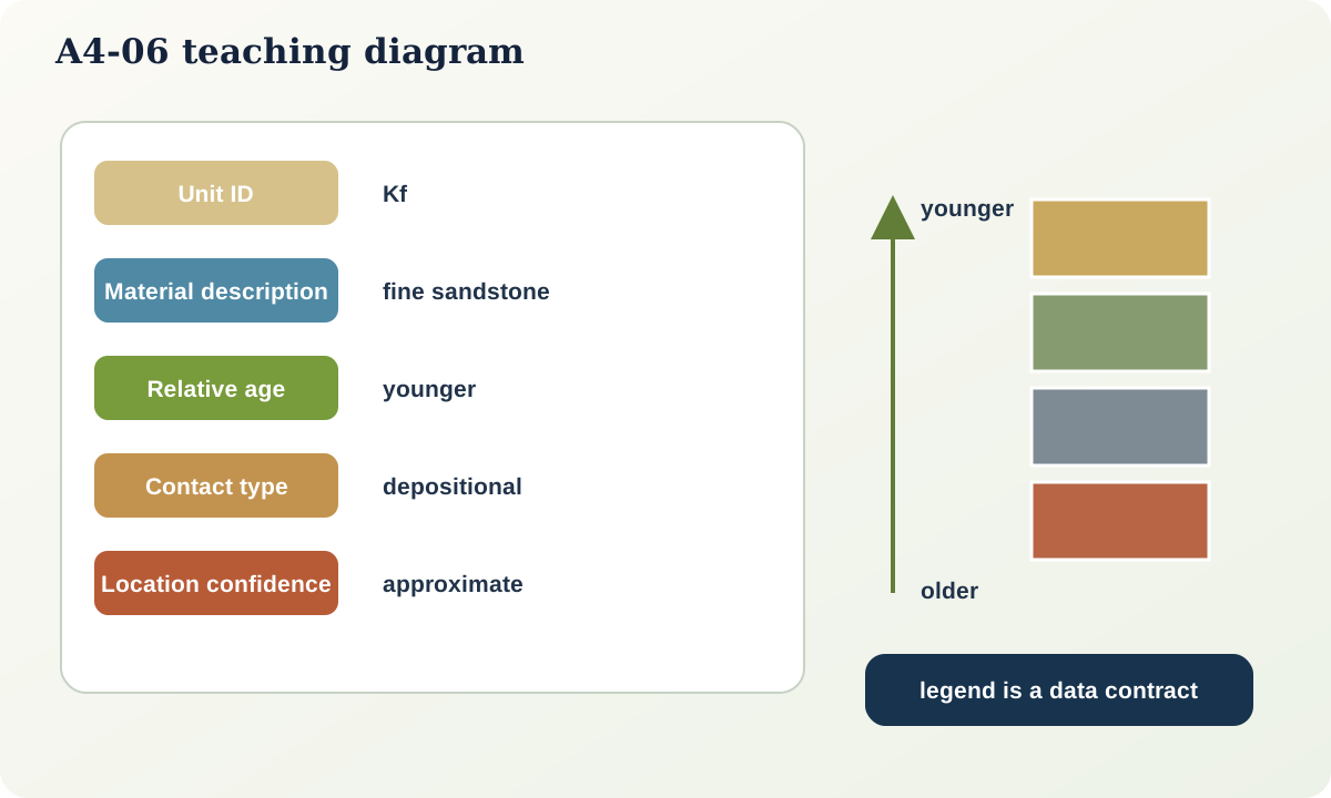
A geological map is uninterpretable without its legend, scale, coordinate information, source and explanatory notes. Colour alone is never a unit definition. A legend entry should connect a unique label to a description, age or relative-age constraint, material criteria, naming scheme and map symbol. Contact and structural symbols require their own explanations.
Map units are purpose-dependent
A map unit groups material that can be represented consistently at the chosen scale and purpose. It may be a formal stratigraphic unit, an informal lithologic unit, a surficial deposit, an intrusive body, a metamorphic complex or a material class. The same terrain may be divided differently on bedrock, regolith, engineering-geology and hydrogeology maps.
Do not treat unit labels from different maps as equivalent without comparing definitions, scale and edition. A unit name may persist while its boundaries or age interpretation changes.
Reading a unit description
Extract five things:
- identifier and name — the symbol used on the map;
- material definition — lithology, texture, composition or process criteria;
- age statement — numerical, relative, uncertain or mixed;
- relationships — overlies, intrudes, faults against, grades into or is unconformable on another unit; and
- limitations — internal heterogeneity, minimum mappable width or uncertain correlation.
An age printed beside a unit may date crystallisation, deposition, metamorphism, cooling or a cross-cutting event. Read the explanatory text before treating it as unit age.
Contact types
A depositional contact represents accumulation of one unit on another. An unconformity includes a significant break, erosion or non-deposition and may truncate older structures. An intrusive contact cuts or replaces host material. A fault contact is tectonic. A gradational contact spans a transition. These genetic labels are interpretations supported by field relationships; they should not be assigned from colour adjacency alone.
Line style may separately express location accuracy. Thus “intrusive, approximately located” combines contact type and confidence. A robust data model stores those properties separately even if the printed map combines them in one symbol.
Structural symbols
Orientation symbols mark a measurement location and value. Bedding, overturned bedding, foliation, cleavage, lineation and joint symbols are not interchangeable. A symbol printed within a polygon describes an observation at its anchor point, not necessarily the entire unit. Multiple measurements should be inspected before assigning a regional orientation.
Fault symbols may show known or inferred sense, but map teeth or arrows have definitions specific to the legend. Never infer movement from line colour or a familiar-looking ornament without checking.
Worked legend audit
The Open Ridge legend contains:
Qs: unconsolidated sand and gravel in active drainage; youngest mapped deposit;Kf: fine sandstone with mudstone interbeds; depositional top uncertain;Jm: dark mudstone with a persistent pale marker bed;Trl: thick-bedded limestone, locally dolomitised;Psh: foliated shale; base not exposed;d: narrow mafic dyke cutting all bedrock units but covered byQs.
From this legend, the dyke is younger than bedrock units and older than or concealed by the active deposit, but the exact temporal gap is unknown. The letter codes resemble age abbreviations but are local identifiers in this synthetic example; they are not a claim about a formal timescale.
Semantic interoperability
Digital exchange requires more than transferring coloured polygons. Interoperable geoscience models represent geological features and their properties across maps, sections, reports and databases. Practical map-database schemas organise geologic-map data and provenance. These standards encourage explicit identifiers, sources, confidence and relationships, but they do not remove the need for geological judgement.
Practical investigation
Select a public geological map and hide its legend. Write what you think three colours mean, then reveal the legend and compare. Record every assumption that colour invited. Next, convert one legend entry into structured fields: ID, label, description, age basis, relation, source and confidence.
Common failure modes
- Assigning lithology from colour alone.
- Treating a map-unit code as a universal classification.
- Assuming the age of one mineral date equals deposition age.
- Confusing contact genesis with location accuracy.
- Applying one orientation symbol to an entire polygon.
- Inferring fault sense without reading the legend.
- Combining two maps without reconciling scale, edition and unit definitions.
Mastery check
- Why can one area support several valid unit schemes?
- What five fields should be extracted from a unit description?
- How can a contact be both intrusive and approximately located?
- What does a bedding symbol say about positions away from its anchor?
- Which Open Ridge relative-age relations are observed, and which remain unspecified?
Sources and further reading
- FGDC, *Digital Cartographic Standard for Geologic Map Symbolization*: https://ngmdb.usgs.gov/fgdc_gds/geolsymstd/download.php
- USGS, *GeMS—Geologic Map Schema*: https://ngmdb.usgs.gov/Info/standards/GeMS/
- OGC, *GeoSciML 4.1*: https://www.ogc.org/standards/geosciml/