B1 · Publication Volume 6
Weathering, Erosion, Transport and Deposition
grain production, transport modes, depositional conditions and preservation
Learning objectives
After this lesson, you should be able to separate weathering from erosion, describe particle and dissolved loads, construct a bounded sediment budget, recognise temporary storage and reworking, and explain why the composition or age of a grain need not equal the age of the bed that contains it.
Start with a field problem
A sand body contains quartz, feldspar, lithic fragments, heavy minerals and a small clay fraction. The nearest exposed hill is quartz rich, yet some grains record much older crystallisation ages and several are strongly rounded. Did the sand come from the hill, from an older sedimentary unit, from a distant catchment, or from all three?
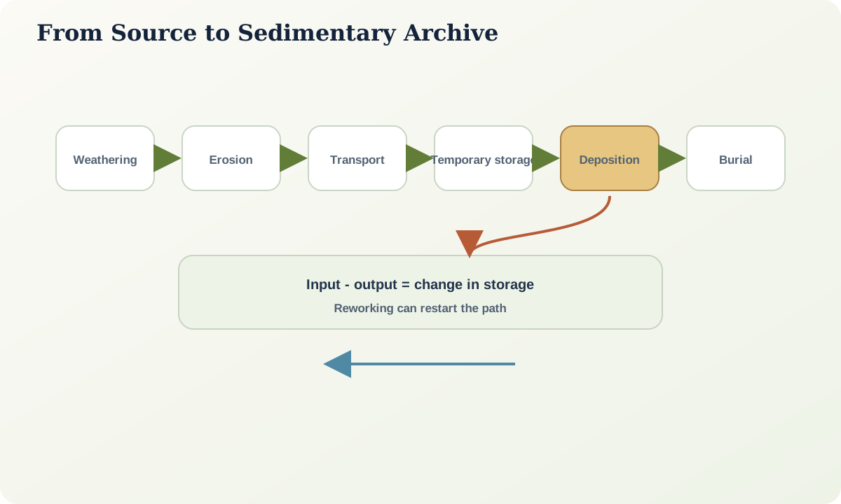
The question cannot be answered by matching one mineral. Weathering selects minerals according to stability and fracture behaviour. Erosion releases and entrains material. Transport sorts particles by size, density, shape and hydraulic behaviour. Floodplains, bars, dunes, lakes and shelves store sediment before later events rework it. Burial and diagenesis dissolve or create components. Provenance is therefore a history of filters, not a direct line from an outcrop to a bed.
Core process model
Weathering transforms material in place. Physical weathering breaks rock without requiring a change in bulk mineral chemistry; chemical weathering dissolves, hydrates, oxidises or replaces minerals; organisms can contribute to both. Erosion removes material from a surface. The distinction matters because a deeply weathered profile can remain where it formed, while rapidly eroded fresh rock can supply little clay.
Once entrained, material travels as dissolved load, wash load, suspended load or bed load. These categories describe transport behaviour, not permanent particle identities. A sand grain can move in suspension during a flood and as bed load under weaker flow. Clay-sized particles can form flocs and settle faster than individual grains. Dense or platy particles do not behave like spherical quartz grains of the same nominal diameter.
Deposition occurs when the transport system can no longer maintain a component in motion, when particles encounter a trap, or when dissolved material precipitates. A reduction in flow strength is only one cause. Flow expansion, infiltration, vegetation, bed roughness, density stratification, salinity-driven flocculation and chemical saturation can all matter. Deposition is followed by possible bioturbation, dewatering, compaction, cementation, dissolution and reworking.
Evidence and measurement
Define a system boundary before writing a sediment budget. For a catchment during interval \Delta t,
\Delta S = I + P - O - L
where \Delta S is change in stored sediment, I is sediment entering across the boundary, P is production within it, O is export, and L represents loss by dissolution or transfer to an excluded reservoir. Every term needs compatible units, grain-size coverage and a time interval. A river gauge may measure suspended export but miss bed load; a reservoir survey may record storage but not material that passed through; a cosmogenic production estimate and one storm measurement occupy different time supports.
At an outcrop, document clast lithology, grain composition, weathering state, roundness, surface textures, sorting, bed geometry and palaeoflow evidence. On a map, locate plausible source rocks, older sediment stores, drainage divides and barriers. For age data, specify whether the measurement dates crystallisation, cooling, weathering, deposition, cementation or later resetting.
Worked example
Suppose a storm exports 8{,}000 tonnes of suspended sediment from a bounded catchment. Repeat topographic surveys indicate 11{,}000 tonnes of hillslope and channel erosion, while a floodplain reach gained about 2{,}000 tonnes. If no external input is recognised, the first-order unaccounted amount is
11{,}000 - 8{,}000 - 2{,}000 = 1{,}000\ \text{tonnes}.
That residual is not automatically error. It could represent bed-load export, storage below survey resolution, bank collapse after the survey, dissolved loss, or uncertainty in bulk density. Report the uncertainty ranges before claiming imbalance. If erosion is 11{,}000\pm2{,}000 tonnes and the other terms also have substantial error, zero residual may remain plausible.
Now add provenance. If floodplain sediment predating the storm was reworked, part of the exported load is old storage rather than newly weathered hillslope material. The event budget can close while a simple source interpretation still fails.
Misinterpretations and uncertainty
Common errors include treating transport distance as the sole control on roundness, using mineral abundance without correcting for hydraulic sorting, and equating an old detrital grain age with depositional age. Absence of an unstable mineral may reflect weathering or diagenesis rather than source absence. A modern catchment may not match an ancient drainage network. A low sediment yield during a monitoring period may follow a previous high-magnitude event that emptied accessible stores.
Preservation is another filter. Erosion can remove the most energetic deposits; bypass can leave a surface with little sediment; later soil formation can overprint original texture. A sedimentary archive records what survived, not all processes that occurred.
Practical investigation
Choose a small source-to-sink system. Draw at least six reservoirs and all material transfers. Assign each arrow a proposed unit and method of measurement. Mark transfers as measured, estimated or unknown. Then create two versions of the diagram: one for a single event and one for a thousand-year interval. Explain why the dominant storage terms and acceptable methods differ.
Mastery check
- Why can weathering rate increase while sediment export decreases?
- Give three mechanisms other than lower velocity that can promote deposition.
- How could a catchment budget close while the inferred sediment source remains wrong?
- What age does a detrital mineral provide, and what additional evidence is needed to constrain deposition?
- Convert “the grains came from the nearest outcrop” into two competing, testable hypotheses.
Sources and further reading
- Sediment and suspended sediment, U.S. Geological Survey.
- Erosion and sedimentation, U.S. Geological Survey.