C3 · 出版卷 13
Spatial Geochemistry
Trends、domains、support、interpolation、compositional effects
学习目标
读者应能区分 sample location 与 source support;在空间比较前对齐 coordinate reference、domain、medium、method 与 physical support;描述 trend、local variation 与 directional transport 而不武断假设 stationarity;只在 estimand 与 assumption 可辩护时 interpolation;显示 coverage 与 uncertainty;并采用阻止邻近观测 leakage 的 spatial validation。
地球化学数值是具有复杂 support 的空间观测。一个 point symbol 可能代表 soil volume、composite footprint、stream catchment、water interval 或 rock channel。绘图坐标只是参考位置,不一定是物质生成和混合的 geometry。空间分析必须先还原 support。
Coordinate、Support 与 Comparability
核查 coordinate reference、axis order、unit、datum、collection method 与 precision。小坐标误差就可能把样品放进错误 catchment、lithology 或 landform。保留 original coordinate,把 transformation 保存成 derived geometry;不能让过多 decimal digit 假装 field accuracy。
尽量显式表示 support:channel line、composite polygon、catchment、depth interval 或 approximate footprint。同一坐标的不同 horizon/season 是不同 observation;相距很远的 drainage sample 也可能有高度重叠 catchment,因而并不独立。
空间比较要求 medium、fraction、preparation、method、unit、qualifier 与 process domain 可比。Campaign 不同时应绘出 boundary,并在合并前做 overlap test。与 method change 完全一致的空间 step 首先是 analytical hypothesis,而不是 geological contact。
Trend、Continuity 与 Directional Process
Regional trend 可来自 lithology、weathering、climate、grain size、drainage area、method 或 broad process。Trend removal 是解释行为,必须记录 model 并同时显示 original 与 residual。过度 flexible surface 会移除 target,过度简单 trend 会把 broad Background 留作 Anomaly。
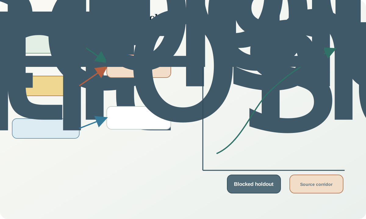
Spatial continuity 可有 anisotropy:mechanical dispersion 沿 slope/drainage,alteration 沿 structure/stratigraphy,风水搬运产生方向。方向要由 terrain/geological reasoning 与 data 共同估计。平滑图或模型不能证明 cause。
Stationarity 只表示关系在 modelled domain 内足够稳定,不是所有 geochemistry 的属性。已知 process change 应分 domain 并做 sensitivity。Sparse data 无法支持精细 continuity model,应报告限制而不是拟合繁复曲线。
Interpolation、Mapping 与 Uncertainty
Interpolation 估计 observation 间明确的 quantity。Point-support soil 在相同 horizon/process domain 内可估 local concentration surface;catchment-integrated sediment 若当 point 跨 drainage divide 插值,会违背物理过程,应使用 catchment 或 network representation。
每张图都应显示 observation、coverage、domain、censoring 与 quality status。Class break 改变视觉显著性,应说明 rule/transformation,并有 unobserved class。Support 之外的 extrapolation 必须有 mask 与 uncertainty。
Model uncertainty 包含 measurement、sampling、support mismatch、domain 与 spatial-model component。错误 domain 下的 narrow interpolation variance 是 false confidence。Alternative domain、trend 或 transport direction 的 scenario map 往往比单一 nominal surface 更有信息。
Spatial Validation 与 Change of Support
随机留出 individual point 可能因邻近 training sample 泄露同一 local process 而过度乐观。应使用 spatial block、separate catchment、later phase 或 prospective site。Transformation、domain 与 interpolation setting 只能由 training data 拟合。
Composite 平均 small-scale variation,catchment sample 混合 source,narrow rock channel 保留 local extreme。不同 support 不能靠 interpolation 自动可比。应建立 support model、在合理时 aggregate 到共同 support,或保持 layer 分离。
Validation metric 要对应 action。Overall error 低仍可能漏掉 high-value anomaly。按 domain/concentration range 报告 bias、interval coverage、rank 或 classification performance,并检查 spatial residual;coherent residual 说明仍有未建模 process。
合成计算案例
三个相邻合成 soil cell 的面积为 100、200、300 m²,mean X 为 20、50、80 mg/kg。Combined 600 m² support 的 area-weighted mean 为:
$\bar{x}_A=\frac{100(20)+200(50)+300(80)}{600}=60\ \mathrm{mg/kg}.$
Unweighted mean 为 50 mg/kg。把每个 cell 当 equal point 会低估 combined-support mean,因为高值 cell 代表更大面积。计算只在 material 可比,且 estimand 允许以 area 和相同 bulk density 等合理基准加权时成立。
若 80 mg/kg 来自整合 catchment 的 stream outlet,另外两个来自 local soil,同一加权就没有物理意义。Drainage observation 应作为独立 directional constraint,或进入显式 mixing model。若 continuity 为 100 m,却用相隔 20 m 的交替站点 validation,也会 leakage;200 m block 更能检验新空间。
空间审计流程
- 核查 coordinate、reference system、precision 与 transformation history。
- 分开 collection location 与 source/integration support。
- 对齐 medium、fraction、method、unit、qualifier 与 quality status。
- 建模前绘制 density、gap、domain 与 transport direction。
- 用显式 process assumption 分开 broad trend 与 local variation。
- 按 support 选择 point、polygon、catchment 或 network analysis。
- 限制 interpolation domain,并显示 extrapolation mask。
- 传播 measurement、sampling、support 与 domain uncertainty。
- 使用 spatially/temporally separated observation validation。
- 把 map pattern 转化为 process prediction 与 follow-up。
练习与复核
- 第三个 cell 面积改为 150 m² 后重算,并说明 weighting assumption。
- 画图区分 collection point、catchment support 与 inferred source corridor。
- 解释 outlet value 跨 drainage divide interpolation 的问题。
- 为 50 m line spacing、continuity 可能 300 m 的数据设计 blocked validation。
- 比较两种 trend model,说明各自可能移除什么 target footprint。
复核问题:每个值支持什么 geometry?Sample 是否可比?什么 process 形成方向?地图何处 interpolation/extrapolation?Validation 是否检验真正的新空间?
来源与延伸阅读
- 国家尺度地球化学调查方法与产品,提供 catchment-based survey design 与 spatial product。
- 河床沉积物采集与处理指南,说明 drainage observation 的 support 与 comparability。
- 地球化学 Background 的 Robust Multivariate Adjustment,展示 spatial/covariate-aware adjustment。
- Regolith 与地球化学制图概念,连接 spatial pattern、landform 与 surface material。